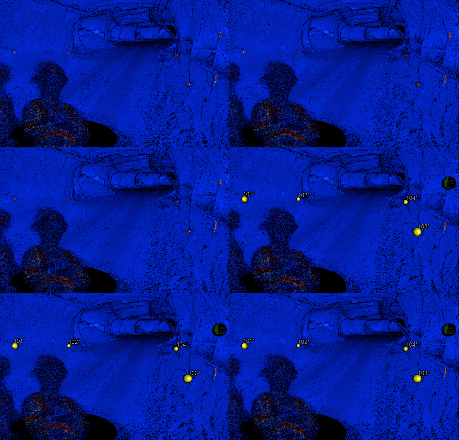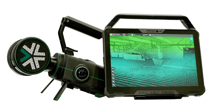
Quickly capture accurate 3D models with Nexys over large and complex environments which can be tied into global coordinate frames using pre-established ground control points.
Nexys for 3D mapping
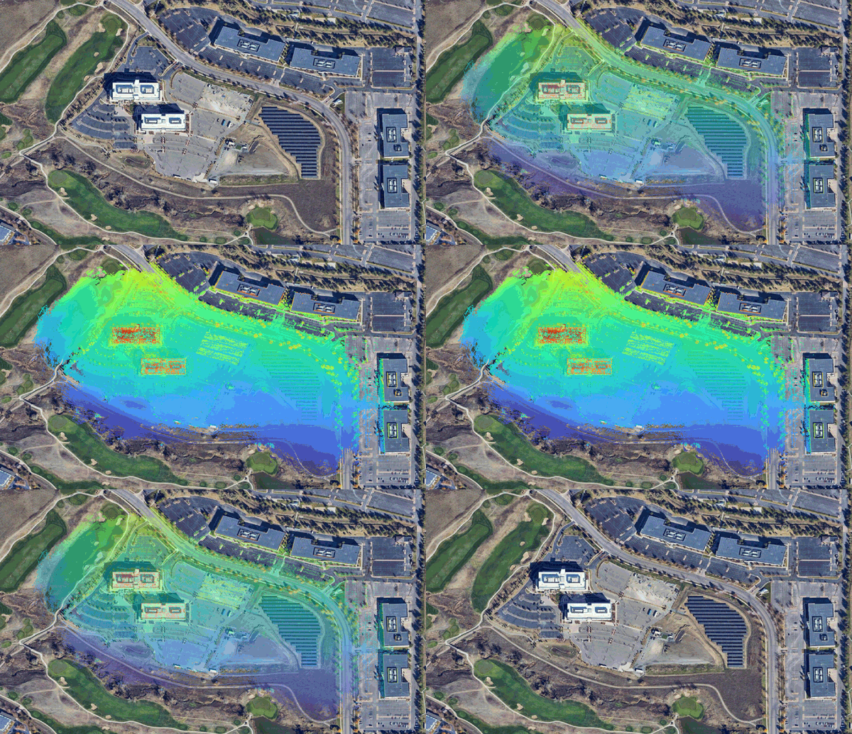
High fidelity, colorized point cloud models captured by Nexys can be further constrained with GPS RTK/GNSS data for precise and globally accurate digital twins.
nexys for geospatial
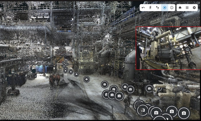
Nexys point clouds can now be exported in E57 format with embedded panoramic photospheres to build feature-rich digital twins for surveying professionals in the geospatial and construction industry.
Nexys for construction
A fully modular autonomous drone that collects accurate, real-time 3D colorized point clouds in complex, dangerous, or inhospitable environments.
Explore NexysNexys-powered robots are now capable of detecting and intelligently navigating around dust in rugged and dynamic environments. This reliable autonomy further increasing the odds of mission success while reducing the cognitive load of operators in the field.
Understanding autonomy level 4b