Achieve zero drift mobile mapping with with Nexys -- incorporating various map contraints for geospatial and construction industries where accuracy is king.
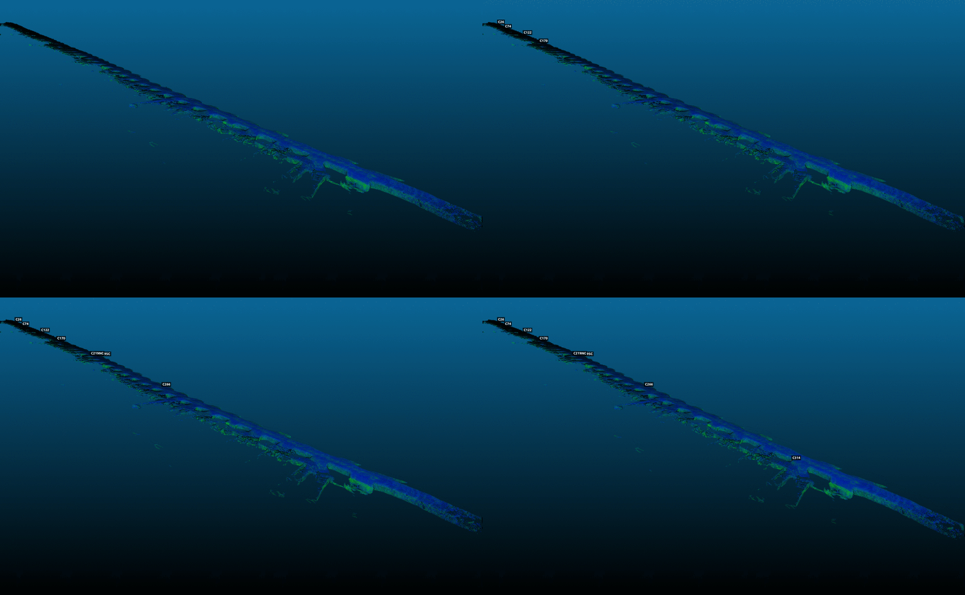
Robust post-processing capable of eliminating accumulated drift for improved accuracy, even after long data captures. Using pre-surveyed control points, operators can exploring knowing their maps will remain globally accurate.
Learn More About GCP Anchoring
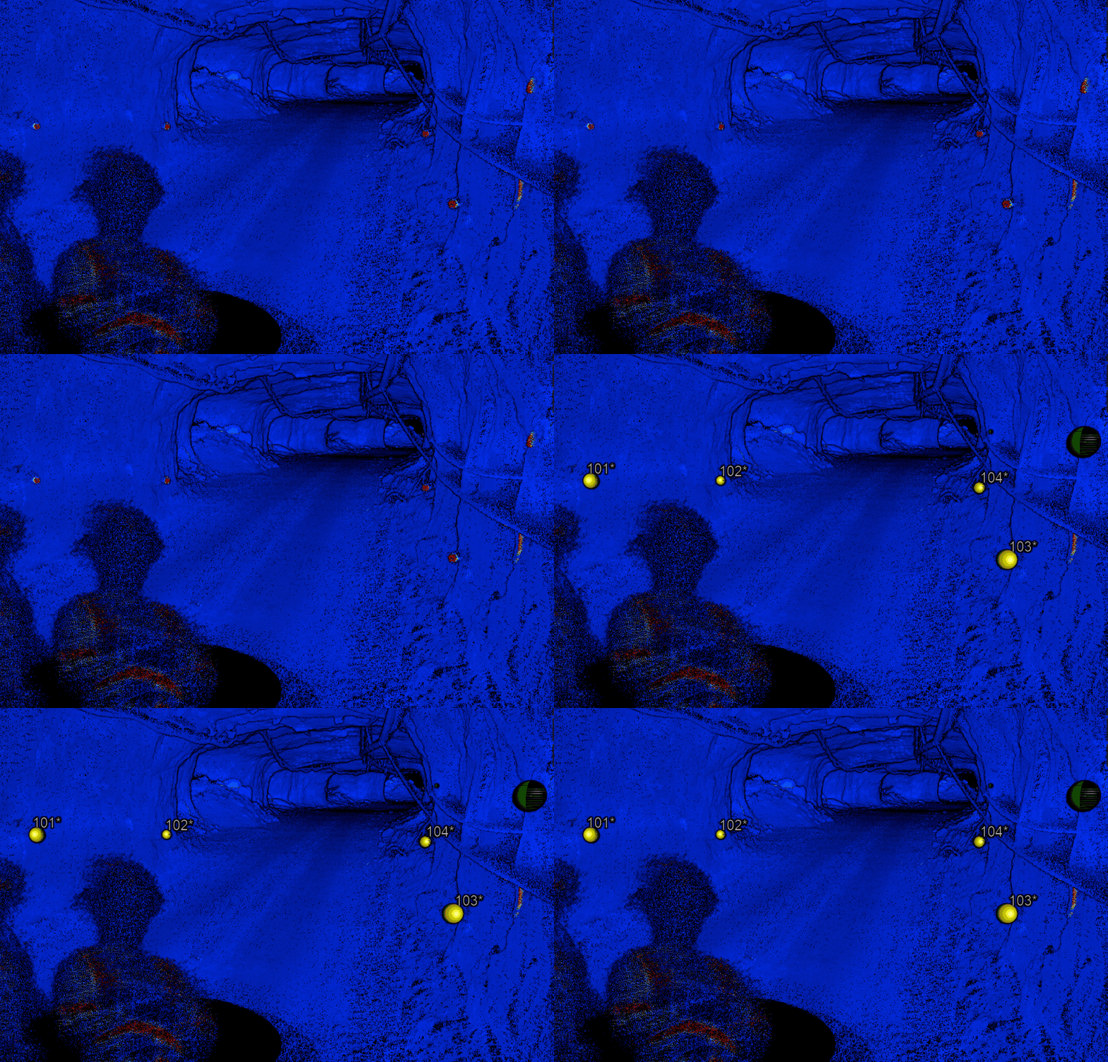
ExynAI can automatically detect and register pre-surveyed control points through an intensity cluster detection algorithm. This speeds up post-processing timelines and prevents user error.
Learn More About GCP Anchoring
You've never seen a drone fly like this. Intelligently exploring unknown environments while navigating through dust, around thin wires, and other obstacles to capture critical data while keeping operators safely out of harm's way.

Nexys operators can capture high-density 3D point clouds by hand, flown on an autonomous drone, or attached to a vehicle. Once the scan is complete a robust and feature rich post-processing pipeline enables operators to clean, colorize, or even geo-reference point clouds into pre-existing global coordinate frames.

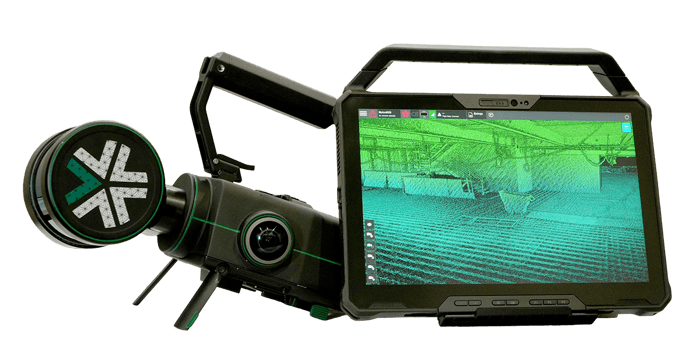
Nexys is a completely modular 3D mapping solution designed to reduce time to capture, increase safety, and drive efficiency for challenging, complex, or dangerous environments.
Learn More About Nexys