In the ever changing landscape of Philadelphia, where historical architecture sits across the street from modern engineering marvels, the importance of precise surveying in construction, industrial inspection, and geospatial mapping cannot be overstated. Here, at the heart of such technological advancements, we find the emerging field of handheld LiDAR scanners, a groundbreaking tool in the realm of reality capture.
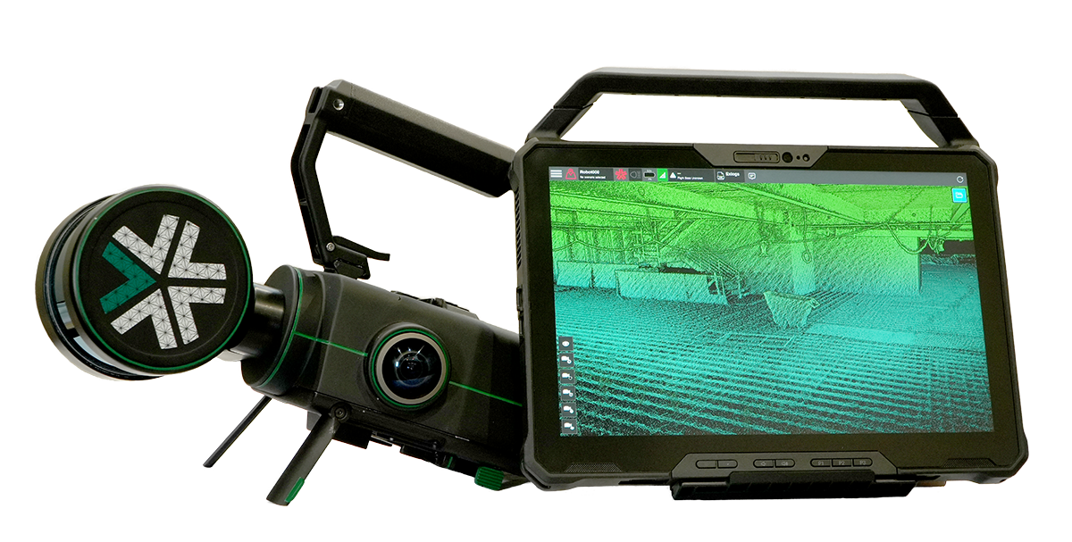
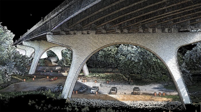
The concept of reality capture isn't new, but the way we're doing it with handheld LiDAR scanners is uprooting traditional surveying workflows. Imagine walking through a construction site, an industrial complex, or a historical landmark with a device that captures a 3D point cloud of your environment in real-time.
That's exactly what handheld LiDAR scanners do. They use Light Detection and Ranging (LiDAR) technology to accurately measure distances, creating high-resolution digital twins of physical spaces.
Browse Nexys for Construction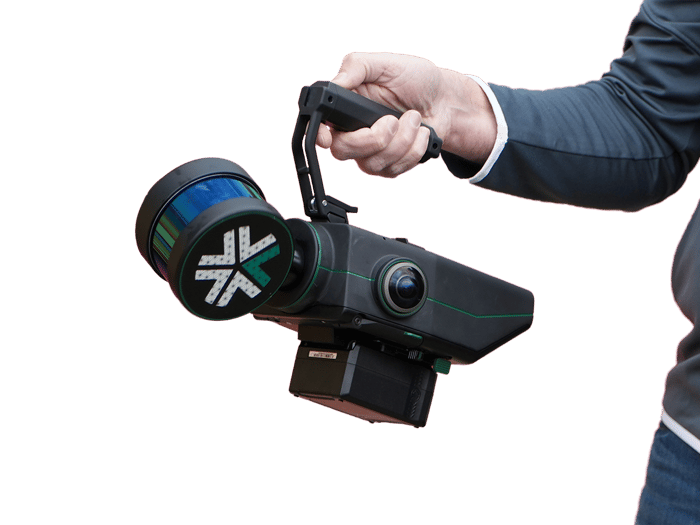
What really sets Nexys apart is ExynAI, our proprietary post-processing pipeline. It's not just about collecting data; it's about making sense of it. ExynAI ensures that the data captured is accurate, reducing drift and errors, turning raw data into a reliable map or digital twin that professionals can trust. After quickly capturing a high fidelity 3D point cloud, ExynAI is unleashed to smooth, eliminate non-static points, downsample, and even colorize point clouds that can be exported through ExynView into a variety of geospatial industry software.
This is the algorithm at the heart of ExynAI which powers Nexys to capture feature-rich 3D point clouds while also flying autonomously (with additional Autonomy License).
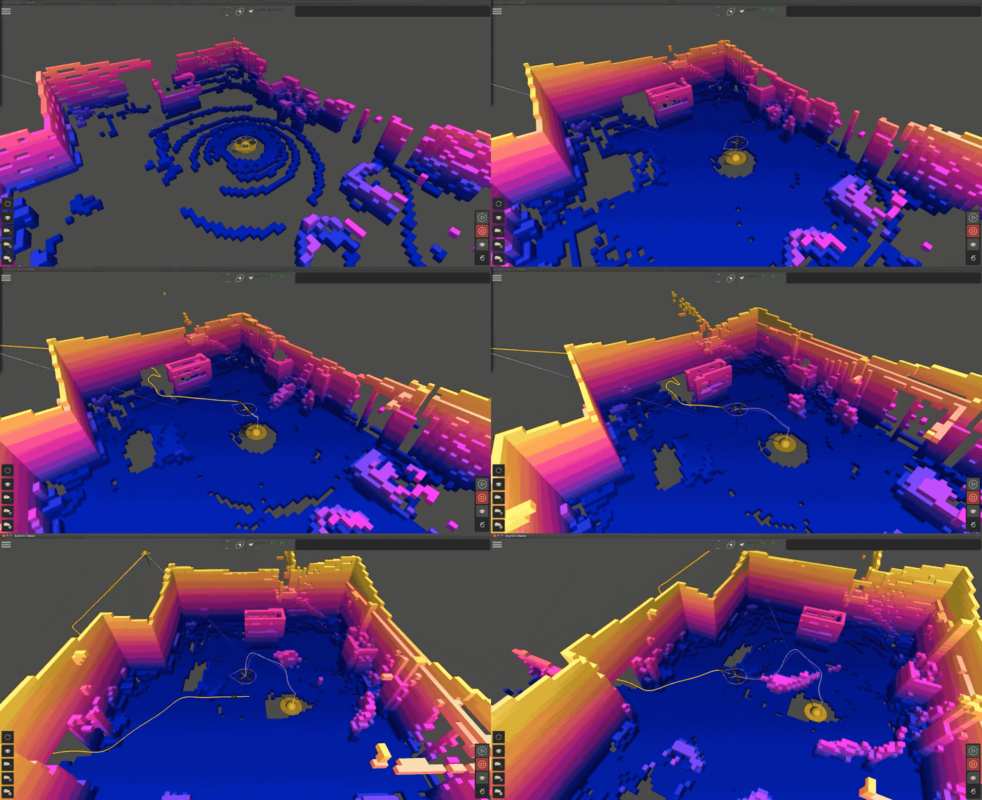
Simultaneous Localization And Mapping (SLAM) is a complex algorithm that allows a robot, such as an autonomous drone, to map an unknown environment while simultaneously tracking its position within it. It's particularly vital in navigating GPS-denied areas such as underground terrain.
SLAM can use various sensors to visualize its surroundings, including LiDAR, ultrasonic sensors, and cameras. LiDAR-based SLAM uses a LiDAR (Light Detection and Ranging) sensor to “see” its environment. Here’s how that process works:
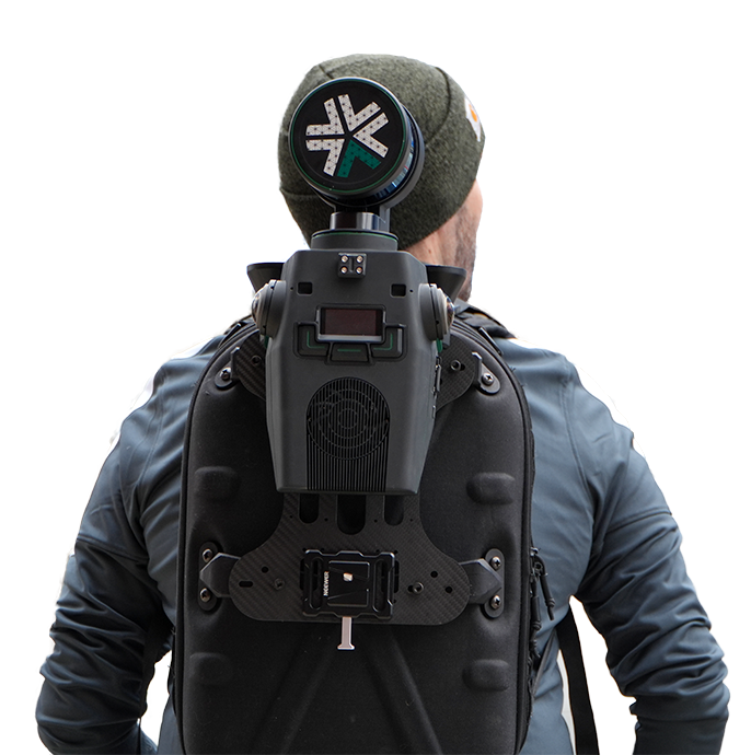

Using a handheld LiDAR scanner in the construction industry can significantly enhance efficiency, accuracy, and safety in various stages of a construction project. Here's how you would typically use one in a scan to BIM workflow for point cloud processing:

Industrial environments are often challenging, with complex structures and hazardous areas. Using a handheld LiDAR scanner for industrial inspection involves several key steps to ensure a thorough and efficient assessment of an industrial facility. Here’s a streamlined guide on how to use such a device, like Nexys, in this context:

Handheld LiDAR scanners offer several benefits for geospatial mapping compared to traditional surveying and mapping methods. Whether it's mapping the banks of the Schuylkill or surveying a new development in the Greater Philadelphia area, Nexys provides detailed, accurate data that forms the foundation of any geospatial project.
These advantages stem from the technology's precision, speed, and versatility, among other factors. Here's a detailed look at the key benefits:

Using a handheld LiDAR scanner in the construction industry can significantly enhance efficiency, accuracy, and safety in various stages of a construction project. Here's how you would typically use one in a scan to BIM workflow for point cloud processing:

Industrial environments are often challenging, with complex structures and hazardous areas. Using a handheld LiDAR scanner for industrial inspection involves several key steps to ensure a thorough and efficient assessment of an industrial facility. Here’s a streamlined guide on how to use such a device, like Nexys, in this context:

Handheld LiDAR scanners offer several benefits for geospatial mapping compared to traditional surveying and mapping methods. Whether it's mapping the banks of the Schuylkill or surveying a new development in the Greater Philadelphia area, Nexys provides detailed, accurate data that forms the foundation of any geospatial project.
These advantages stem from the technology's precision, speed, and versatility, among other factors. Here's a detailed look at the key benefits:
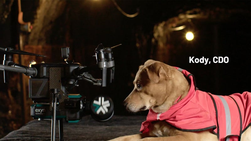
3D scanning technology, particularly the Nexys powered by ExynAI, represent the future of surveying in construction, industrial inspection, and geospatial mapping. At Exyn Technologies, we're proud to be leading this charge from our Philly headquarters, combining cutting-edge technology with local know-how. Whether it's for mapping a historic site, inspecting an industrial facility, or planning a new development, Nexys is the go-to portable scanner for professionals who value accuracy, efficiency, and safety.
Remember, in the world of SLAM technology, it's not just about seeing the big picture; it's about capturing every detail. And that's exactly what the Nexys from Exyn Technologies does. So, let's map our way into the future, one point cloud at a time, right here from the City of Brotherly Love.