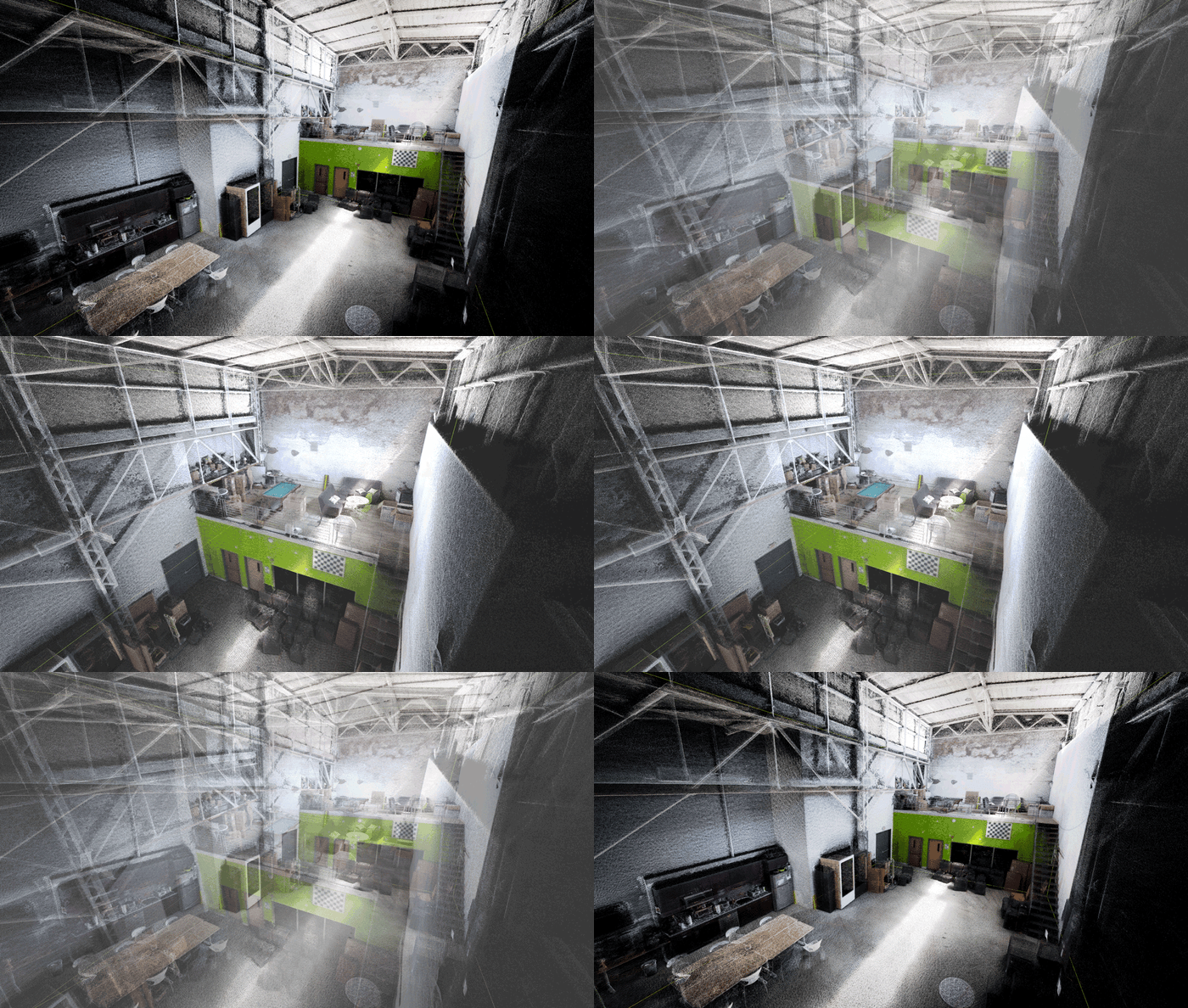
After every scan with Nexys, operators can export high-fidelity 3D point clouds with embedded RGB information and photoshperes for industrial inspection and other geospatial applications.
Nexys is ingesting multiple data streams simultaneously to delivery high fidelity point clouds embedded with RGB and photosphere data making it a compact, modular tool for capturing high quality data for industrial inspection and other geospatial mapping situations.
Explore Mobile Scanning with nexys
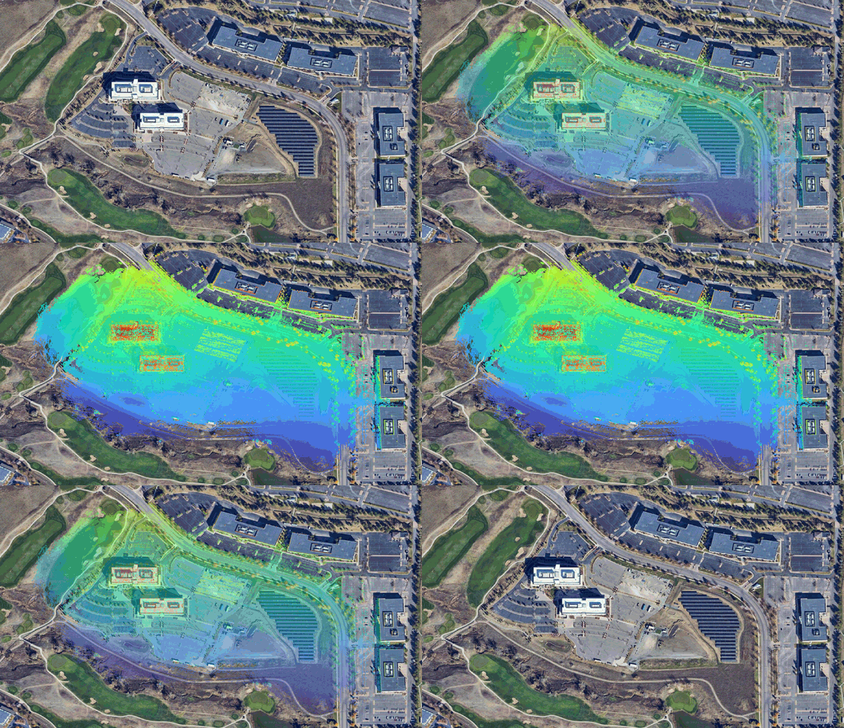
Nexys operators can now use GPS/RTK and GNSS datasets to further constrain high-density 3D models into precise global coordinate frames, further expanding the surveyor's mobile toolkit.
Explore GPS Integration
You've never seen a drone fly like this. Intelligently exploring unknown environments while navigating around thin wires and other obstacles to capture critical data while keeping operators safely out of harm's way.
Explore Advanced Dust Filtration
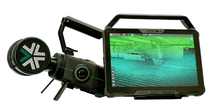
Don't waste time before you get back to the desk. Exyn's ruggedized tablet is equipped to clean, georeference, and export high fidelity data sets in the field with photospheres and other data embeds to increase efficiency and transparency.
Capture more with Nexys
Nexys is a completely modular 3D mapping solution designed to reduce time to capture, increase safety, and drive efficiency for challenging, complex, or dangerous environments.
Learn More About Nexys