Exyn Technologies makes it easier than ever for OEMs and integrators to access cutting-edge autonomy, mapping, and localization solutions. Whether you’re building autonomous systems from scratch, augmenting current hardware capabilities, or enhancing existing workflows, Exyn’s modular software and API’s provide the tools to deliver precision, scalability, and reliability in even the most challenging environments.
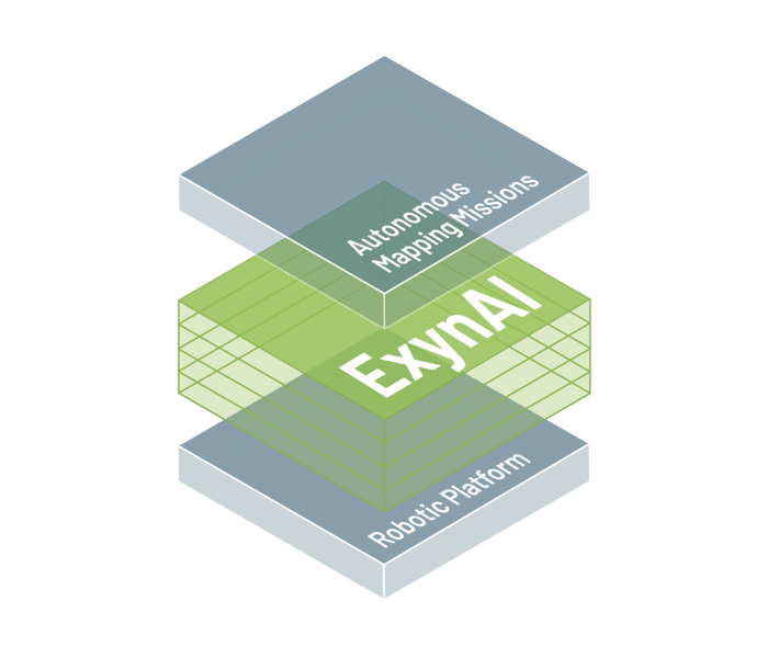
API-Only: Integrators can integrate Nexys and Exyn autonomy using an external API for custom solutions and automations using their own apps.
Modular Software: OEMs can integrate Exyn's modular autonomy, localization, and mapping software into their hardware.

Exyn’s technology is designed to perform in the most demanding conditions:
Precision Mapping: Generate survey-grade 3D maps in real-time, even in GPS-denied or signal-limited environments.
Robust Localization: Reliable and accurate localization performance across challenging environments, including GPS-rich, GPS-denied, high-speed, and complex 3D settings.
Proven Field-Ready Autonomy: Validated across hundreds of deployments and tens of thousands of flights, with demonstrated resilience and reliability in diverse and challenging conditions, including dusty environments and obstacle-rich terrains.
Scalable Solutions: Expand your hardware’s capabilities to meet diverse mission needs quickly and efficiently.

Versatile Robotics: Utilize Exyn’s state-of-the-art autonomy in aerial and ground configurations for mapping, inspection, and beyond.
Third-Party Integration: Easily embed Exyn’s proven mapping, localization, and autonomy modules into your hardware to reduce R&D costs and accelerate time to market.
API-Powered Functionality: Enable autonomous tasking, real-time data streaming, and mission diagnostics for an optimized end-to-end workflow.
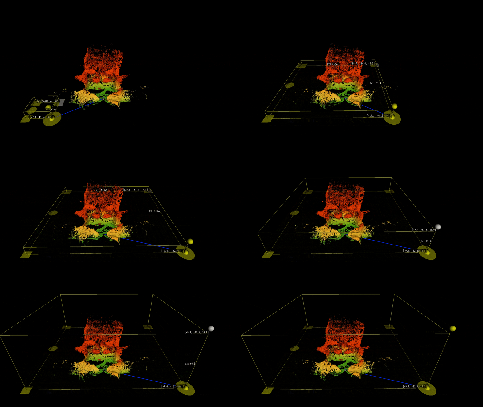
Exyn’s powerful APIs allow developers and integrators to tap into Exyn’s advanced autonomy, localization, and mapping features:
Autonomous Tasking: Implement ready-to-use robotic behaviors like Fly-to, Explore, and Inspection tasks for streamlined operations.
Data Streaming: Access real-time feeds for enhanced situational awareness, including:
Pose: XYZ state of the robot
Point cloud: 3D representation of the environment which is updated in real-time as it is being collected
Health/mission status: Diagnostic information to assess robotic performance and execution of current mission
Data Management: Automate data transfer and post-processing for survey-grade outputs with minimal human interaction.
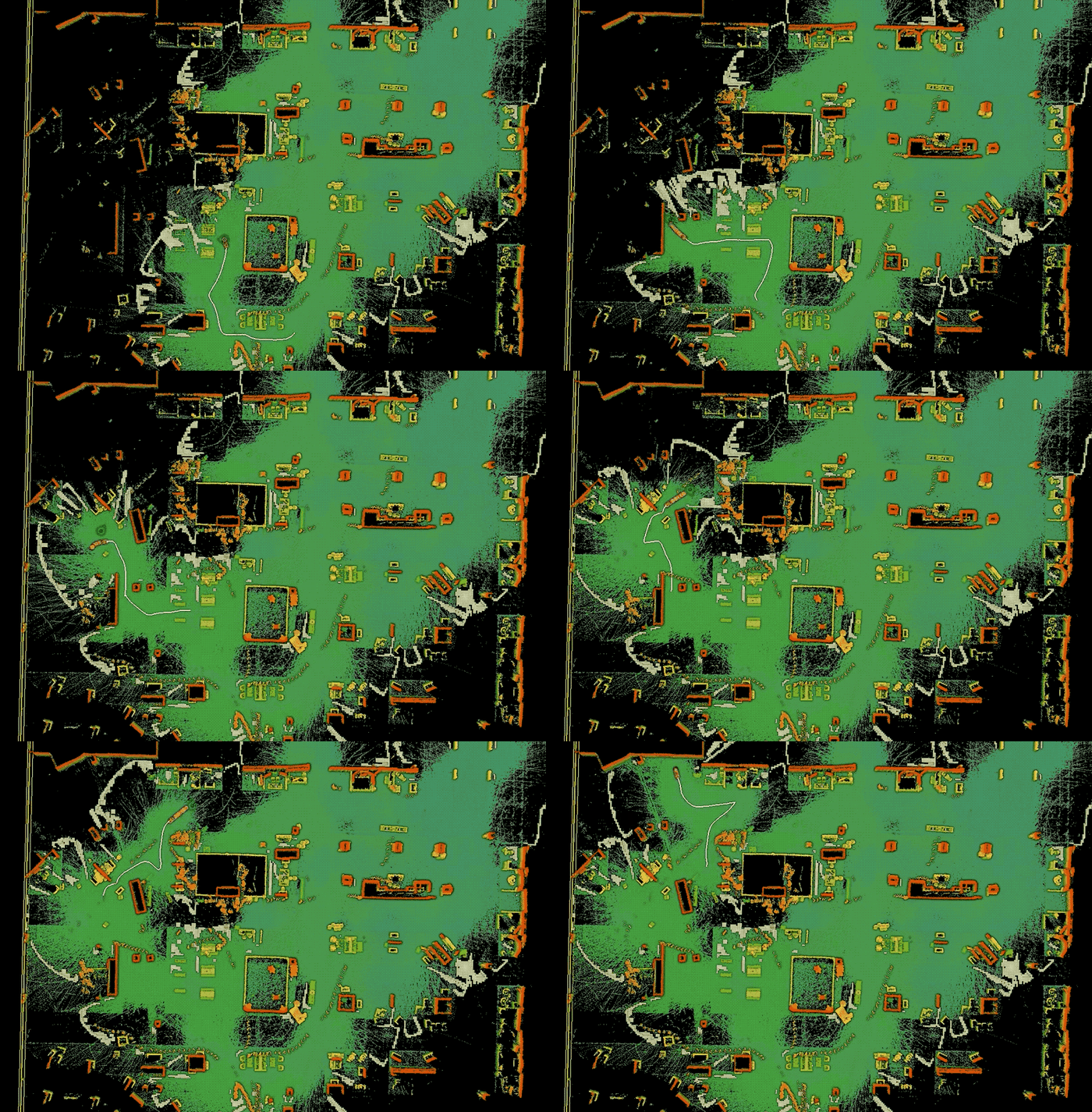
Routine Mapping: Automate daily mapping tasks, such as off-hour construction site surveys, and seamlessly upload processed data to your preferred platform.
Integrated Workflows: Control Exyn’s autonomy solution and visualize real time streams from within existing C2 platforms to reduce implementation time and to maximize operational efficiency.
GPS Denied/Degraded Mapping: Augment your LIDAR equipped hardware with Exyn’s SLAM module to enable reliable and accurate 3D mapping regardless of GPS quality.
Whether you’re enhancing industrial mapping systems or building advanced robotic workflows, Exyn’s modular autonomy and mapping software modules deliver the flexibility and reliability needed to stay ahead in today’s fast-paced industries.
Empower your systems with Exyn’s autonomy and mapping solutions—designed to accelerate innovation and redefine what’s possible.
Learn More