

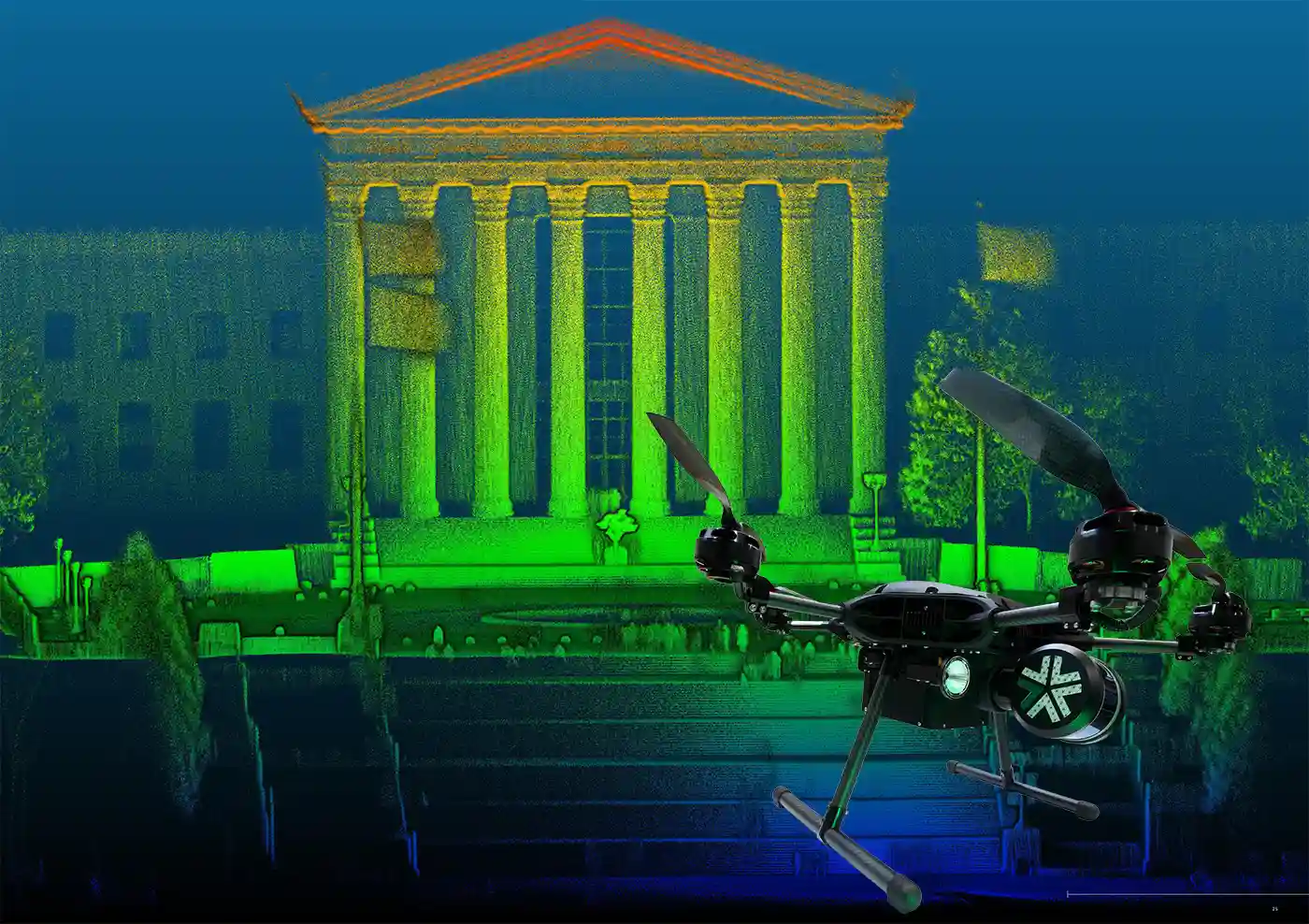
Imagine walking through the historic streets of Philadelphia, where each cobblestone and colonial building tells a story. Now, picture capturing every detail of this vibrant cityscape in a digital format while you walk through that same city street, creating a perfect digital twin in near real-time. That's the power of autonomous reality capture, and at Exyn Technologies, we're leading the charge.


Autonomous reality capture is not just a buzzword; it's a revolutionary technology reshaping industries from construction to geospatial mapping.
It's about using autonomous robots and handheld devices, equipped with state-of-the-art laser scanners, to create detailed 3D point clouds of any environment. These digital twins open a world of possibilities, providing accurate, real-time data for various applications.
Browse ExynAI for Construction

LiDAR-based SLAM (Simultaneous Localization and Mapping) is undeniably the driving force behind the most recent advancements in autonomous reality capture. This technology is akin to having an expert navigator and cartographer rolled into one, operating with precision and efficiency.
This is the algorithm at the heart of ExynAI which powers the autonomous ExynAero and portable ExynPak.
Learn More about ExynAero EA6

Simultaneous Localization And Mapping (SLAM) is a complex algorithm that allows a robot, such as an autonomous drone, to map an unknown environment while simultaneously tracking its position within it. It's particularly vital in navigating GPS-denied areas such as underground terrain.
SLAM can use various sensors to visualize its surroundings, including LiDAR, ultrasonic sensors, and cameras. LiDAR-based SLAM uses a LiDAR (Light Detection and Ranging) sensor to “see” its environment. Here’s how that process works:


In the bustling construction sites of Philly and beyond, Exyn's solutions are transforming how we approach project planning and monitoring. Our technology enables detailed site surveys, progress tracking, and even safety assessments.
With construction reality capture, project managers can anticipate issues, optimize workflows, and ensure that every brick and beam aligns with the blueprint.

Industrial facilities, which can often be quite complex and hazardous areas to work and survey, require regular inspections. Our autonomous drones and handheld devices navigate these spaces effortlessly, collecting data without putting human workers at risk. This approach enhances safety, efficiency, and accuracy in industrial inspection and maintenance.

Mapping vast, inaccessible terrains is a breeze with Exyn's solutions. Our drones fly autonomously, gathering data that's crucial for urban planning, environmental monitoring, and more. Reality capture for geospatial survey teams and beyond is redefining how we understand and interact with our physical world.
Autonomous reality capture in geospatial mapping is not just about creating maps; it's about understanding our world in a more detailed, dynamic, and informed way. This technology is driving advancements in numerous fields, from urban development to environmental conservation, making it a cornerstone of modern geospatial science.

The ExynAero, our flagship product, is a marvel of aerial autonomy. Designed for challenging, GPS-denied environments, this drone leverages ExynAI to safely an intelligently navigate and map complex and dangerous environments.
The resulting point cloud is a survey-grade 3D model that can be imported into a variety of construction, geospatial, or other reality capture software for inspection and further analysis.
Discover ExynAero EA6

The ExynPak is a handheld LiDAR-based SLAM platform that complements our aerial solutions. This portable reality capture solution unleashes the power of a SLAM capture system with you in the driver's seat of the compact backpak form factor.
Quickly capture survey-grade 3D models for industrial inspection, construction BIM modeling, or geospatial analysis. It's perfect for on-the-ground mobile reality capture, offering flexibility and precision in diverse settings.
Discover ExynPak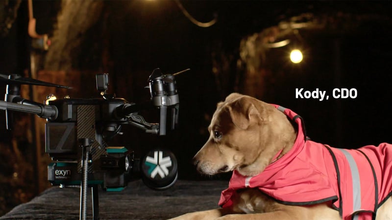
Using reality capture is more than just digital replicas; they are dynamic, interactive models that evolve with their physical counterparts. They enable simulations, scenario testing, and so much more, becoming an indispensable tool in various industries.
Autonomous reality capture solutions are more than a technological advancement; it's a paradigm shift. With Exyn Technologies, industries are not only capturing reality; they're enhancing it. Our 3D reality capture solutions in construction, industrial inspection, and geospatial mapping are just the beginning. Get in touch with us to learn more or to book a personal demo for yourself to see our autonomous laser scanning in action.
