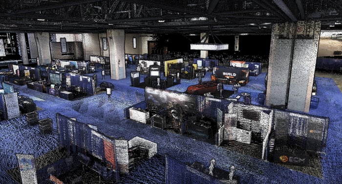
Seeing full detail and colorization in the field ensures the scan area is correct and complete before you leave the site. Capture up to 1.92 million scan points per second at up to 1cm @ 1 sigma, while continuously updating the map as new data is received.
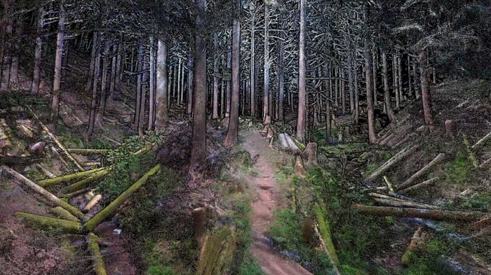
Using the two embedded hemispherical cameras delivering a combined 360 degree field of view, data is automatically collected with accurate, real life color, allowing you to see details that are less clear or unseen in traditional point clouds.
Because Nexys’ cameras are embedded in the unit and the data processing algorithms, there’s no need to buy or connect additional equipment (like a ruggedized camera) to see fully colorized point clouds in real time as you scan. After post-processing, the colorization and point clouds are even sharper with significantly lower noise for even more precise detail. There’s no extra cost to you for colorization.
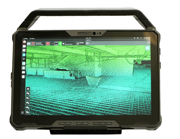
Get real-time visualization of your captured data with full detail and colorization when communications are available in the field to ensure the scan area is correct and complete before you leave the site. ExynView, our proprietary software, controls capture and post processing in the same system, allowing for fast flight log replays and on premises processing for more streamlined workflows.
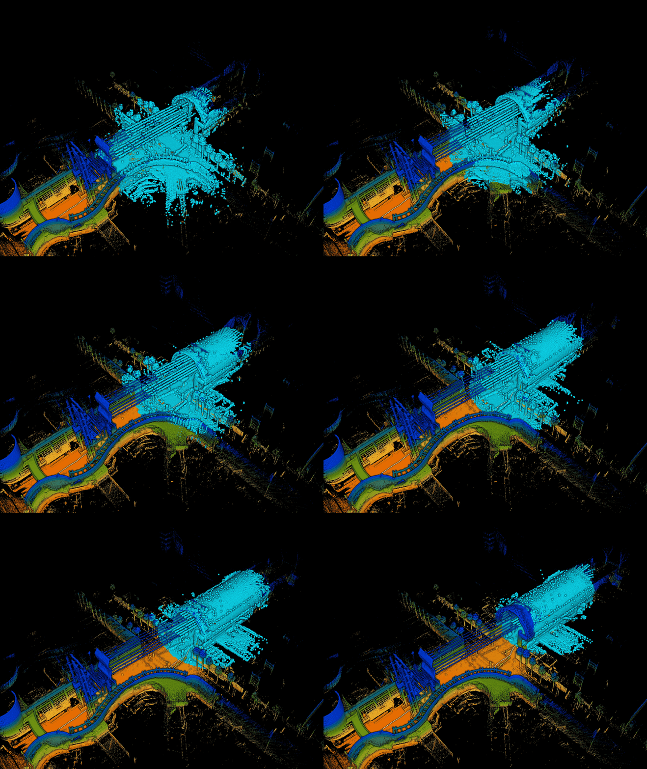
Incredibly adaptable to changing environments, Nexys’s SLAM-based spatial mapping is capable of capturing up to 1.92 million scan points per second, while continuously updating the map as new data is received. The production of accurate maps in near real time drives faster overall project completion times through ongoing progress and quality monitoring to catch potential issues early, avoiding costly and/or timely rework - essential for working in dangerous, complex, or evolving spaces.
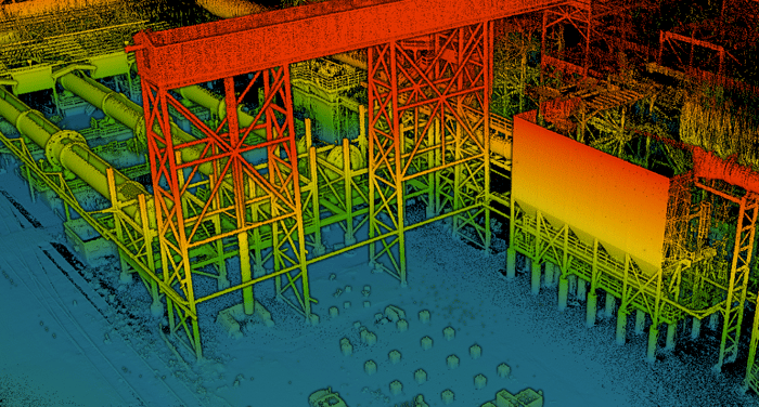
Nexys delivers consistent and repeatable survey grade accuracy of up to 1cm @ 1 sigma dependent on the environment, providing the critical accuracy and detail needed for professional surveying, construction, infrastructure, and engineering applications where small errors can lead to significant issues.
Our customers range from federal innovation units and underground survey teams. And they have one thing in common: appreciation for safe, efficient — and frankly cool — data-capture technology.

“Autonomous drones are a real game-changer for risk management and data collection...removing surveyors from working near open stopes.”
Patti PeguesMine Planning Manager, Vale North Atlantic

“Exyn came to our site to show us the autonomous capabilities of their drone technology, and were very impressed with the timeliness and quality of the data acquired.”
John KiernanCOO, Ascot Resources

“Safety is Dundee’s number one priority, and with Exyn robots we can safely reach areas that were not safe to reach before”
Iliya GarkovVP & Managing Director, Dundee Precious Metals